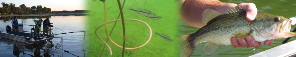
Our main hypotheses are that habitats affect the distribution, abundance, diets, and growth rates of Largemouth Bass. How do we get this habitat data? In previous posts I’ve discussed how we catch fish and collect their gut contents, so this article will focus on our vegetation mapping.

We mapped patches of vegetation in lakes, such as these lily pads near a developed shoreline with its vegetation cleared.
Vegetation mapping techniques have advanced rapidly in the past decade with new technologies allowing us to do things that we never thought possible. Some of the first aquatic vegetation maps in Michigan were produced in the 1930’s and 1940’s, but required careful surveying and were limited in resolution. Computer programs now enable digital mapping, which in turn makes research such as ours possible. In a perfect world, we would simply use aerial or satellite photos taken around the same time as our surveys. These techniques have been used with some success on the Great Lakes, but their application to small inland lakes can be hampered by water clarity, tree canopy cover, and expense. The NASA option out, the next best plan was to visually map each lake in the field. Continue reading
